
Item Details:
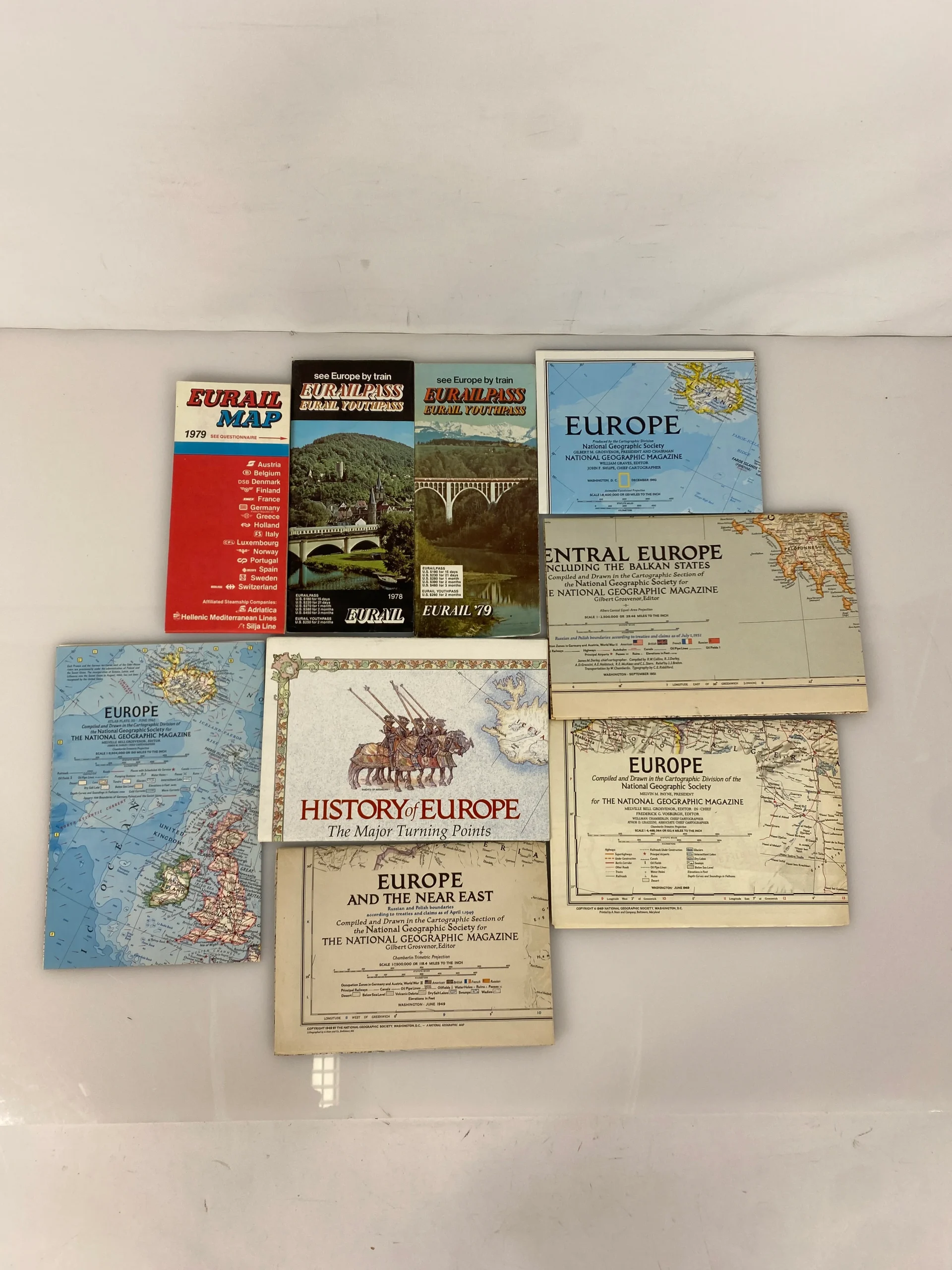
- Titles Included: Eurail Map (34″x24.5″), Eurailpass; Eurail Youthpass (1978-79)(19.5″x18″)
- Publisher: Eurail
- Copyright: 1978-79
- Titles Included: Europe/The New Europe (28.5″x22″), Central Europe Including the Balkan States (38″x29″), Europe and the Near East (32″x28.5″), Europe (25″x19″), Europe (30″x26″), Europe/History of Europe; The Main Turing Points (43″x30.5″)
- Publisher: National Geographic Society
- Copyright: June 1949-December 1992
Condition:
- Maps are in good condition
- Minor soiling to few; readability unaffected
- Eurail Map has perforated edges that are tearing
- Tearing to Balkan States map
- Colors and ink are clear and bright
- Easy to fold